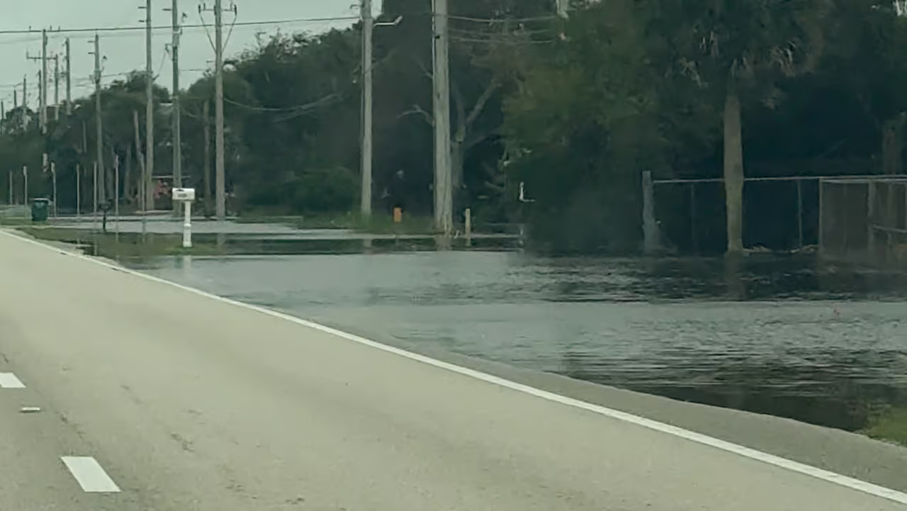
Indian River County remains under a Flood Watch as additional heavy rain through Saturday threatens areas already saturated by recent rainfall, the National Weather Service said Thursday. With roads affected by closures or standing water, county emergency officials urged residents to stay home unless they need to travel.
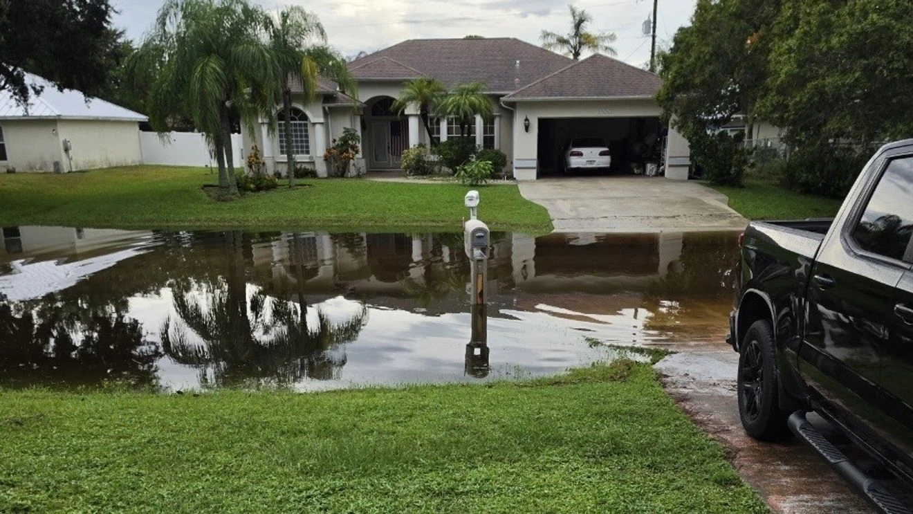
The National Weather Service office in Melbourne forecasts a 40% to 60% chance of 3 to 6 inches of additional rain along the east-central Florida coast through Saturday. Saturated soil has made many areas more prone to flooding. If the most likely rainfall totals materialize, scattered pockets of flooding could develop along the coast.
The forecast also puts the chance of higher-end totals of 8 to 10 inches or more at 10% in some locations. Those amounts would bring a risk of impactful flash flooding.
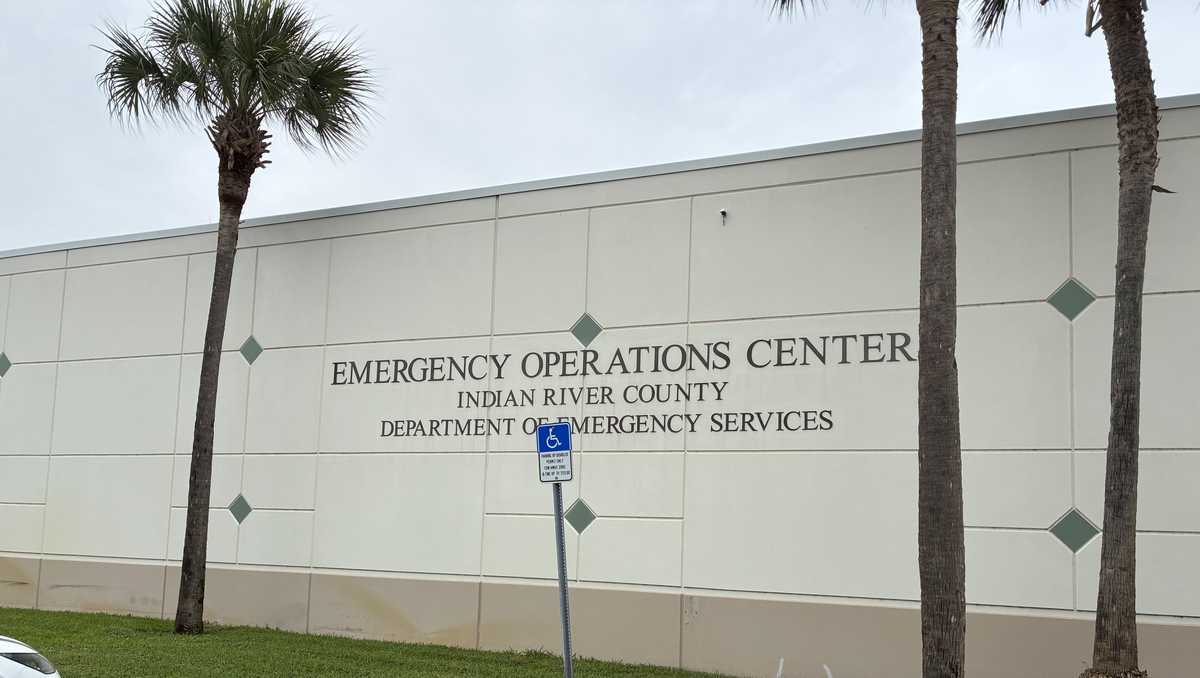
Multiple roads in the Vero Lake Estates area and elsewhere in Indian River County have had closures or standing water this week because of the saturated ground. The Indian River County Emergency Operations Center continues to monitor weather and road conditions. It warned that floodwater and road damage can be difficult to see after dark.
Residents should check the county’s road closure map before traveling and never drive through flooded roads or around barricades, emergency officials said. A road may be unsafe even if the map does not show it as closed.